Revolutionizing Land Analysis: The Power of Drone Surveying and Mapping
In today’s rapidly evolving technological landscape, traditional surveying methods are often outpaced by cutting-edge techniques that improve efficiency, accuracy, and overall quality. Among these innovations, drone surveying and mapping have emerged as a groundbreaking solution, particularly for industries such as construction, agriculture, real estate, and environmental management. At Aeroyantra Technologies Private Limited, we are at the forefront of this transformation, harnessing the potential of unmanned aerial vehicles (UAVs) to deliver precise mapping and surveying services.
Understanding Drone Surveying and Mapping
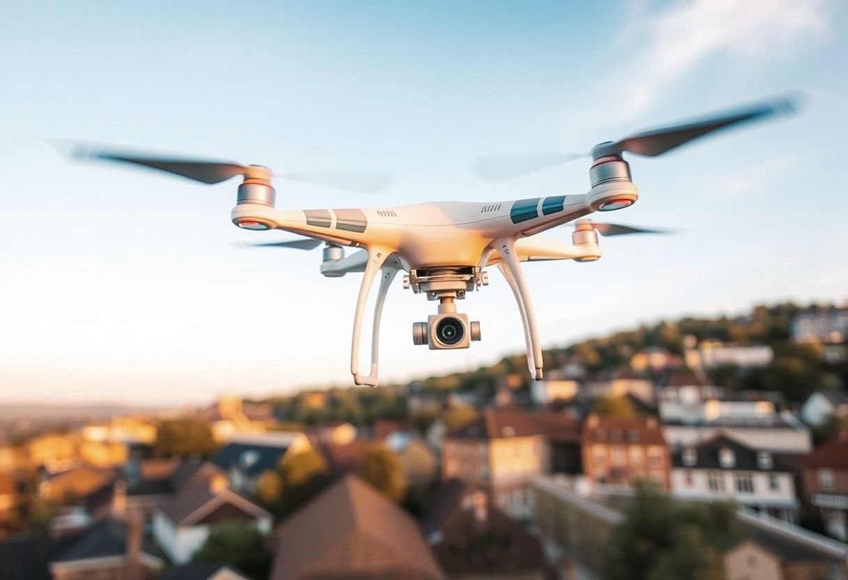
Drone surveying involves the use of UAVs equipped with camera systems and sensors to collect data from various terrains. These aerial devices can capture high-resolution images from above, which can then be processed to create detailed maps and models. The mapping process typically entails three main phases: data acquisition, processing, and presentation.
Data Acquisition:
Drones equipped with GPS and advanced imaging technology fly predetermined flight paths to capture aerial imagery. They can operate in various conditions and reach areas that may be difficult or unsafe for traditional surveying equipment.Data Processing:
The images captured are then processed using specialized software, enabling surveyors to create 2D and 3D maps, orthomosaics, and digital elevation models. This data can show precise topological features and surface layouts.Data Presentation:
Once processed, the maps are presented to clients in a user-friendly format, often through interactive platforms that allow for easy navigation and detailed inspection. This provides stakeholders with crucial insights for decision-making.
Advantages of Drone Surveying and Mapping
Drone surveying offers numerous advantages over conventional methods. Here are some key benefits:
1. Enhanced Accuracy
Drones provide highly accurate geospatial data. Equipped with advanced sensors like LiDAR (Light Detection and Ranging), they can achieve precision within a few centimeters, significantly reducing human error.
2. Time Efficiency
Traditional surveying can be labor-intensive and time-consuming, often requiring days or weeks to complete. In contrast, drones can survey large areas in a fraction of the time, delivering results within hours.
3. Cost-Effectiveness
Given the speed and efficiency of drone operations, costs are dramatically reduced. Businesses can save on labor and equipment, making it a viable option for projects of all sizes.
4. Safety
Drones can be deployed in hazardous locations or during adverse weather conditions, minimizing risk to personnel. This aspect is particularly crucial for industries such as mining, construction, or disaster response.
5. Versatility
Drones can be used for a wide variety of applications, from agricultural monitoring and land-use planning to infrastructure inspections and environmental assessments. Their ability to gather diverse data types allows for comprehensive analysis.
6. Real-Time Data Access
With drone technology, businesses can gain immediate insights through real-time data transmission. This capability enables quick decision-making, especially in fast-paced environments.
Applications of Drone Surveying
Drone surveying and mapping have numerous applications across different sectors:
1. Construction
Site surveys are vital for planning and executing construction projects. Drones provide accurate topographical maps, make progress assessments easier, and help in project management.
2. Agriculture
Farmers utilize drone technology for crop monitoring, health assessments, and precision farming. The data collected allows for better resource management, enhancing yield while reducing costs.
3. Real Estate
In real estate, drones can capture stunning aerial photos and videos of properties, offering potential buyers a unique view. Additionally, mapping the surrounding area helps buyers understand the location.
4. Environmental Monitoring
Environmental scientists use drones to monitor ecosystems, track wildlife, and assess the impact of climate change. Their ability to cover vast areas makes them an invaluable tool in conservation efforts.
5. Mining and Quarries
In the mining sector, drones help in volumetric calculations, monitoring stockpiles, and providing safety assessments of work sites.
FAQs on Drone Surveying and Mapping
What types of drones are used for surveying and mapping?
Drones used in surveying are typically equipped with high-resolution cameras, GPS, and sensors such as LiDAR. Popular models include the DJI Phantom series and professional-grade UAVs.
How accurate are drone surveys?
Drone surveys provide data that can be accurate to within a few centimeters. The accuracy largely depends on the quality of the equipment and the surveying techniques employed.
What is the cost of drone surveying?
Costs can vary widely based on project size, complexity, and location. However, drone surveying generally offers a cost-effective alternative compared to traditional methods.
How long does the drone surveying process take?
The duration depends on various factors, including the area being surveyed, weather conditions, and data processing requirements. However, many surveys can be completed in just a few hours.
Are drone surveys safe?
When operated by trained professionals, drone surveys are safe. They minimize human risk by accessing hard-to-reach or unsafe areas without direct human intervention.
Can drones be used for large areas?
Yes, drones are particularly effective for surveying large areas quickly and efficiently. They can cover wide expanses and generate comprehensive data in real time.
Conclusion
At Aeroyantra Technologies Private Limited, our commitment to advanced drone surveying and mapping services positions us as leaders in the industry. By leveraging cutting-edge technology and innovative methodologies, we strive to provide our clients with unparalleled service quality and insight. As the landscape of surveying continues to evolve, the integration of drones will undoubtedly remain a game-changer, paving the way for a more efficient, accurate, and safe future in land analysis.
For more information or to inquire about our services, please visit our website or contact us directly at +91 6362146920. Experience the transformative power of drone technology with Aeroyantra Technologies!
Appreciate the creator